
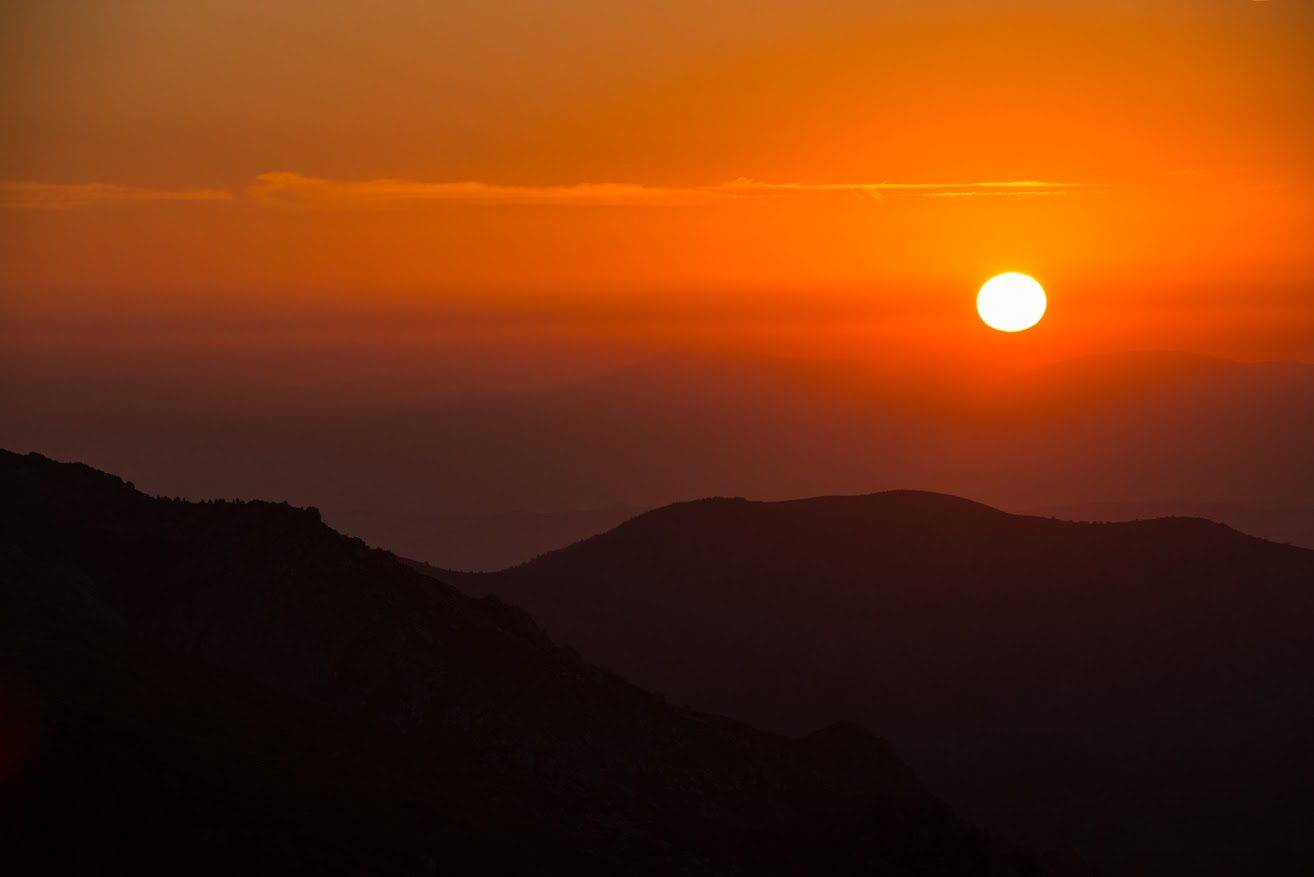
From the crest of the Tanargue, you get an amazing view – a panorama of the Cévennes d’Ardèche.
Ardeche thunder
The highest point of the Tanargue mountain range is the Col de Meyrand, rising to 1,371 metres above sea level. Nicknamed Thunder Mountain, the Tanargue lies on the watershed between the Mediterranean Sea and the Atlantic Ocean.
At the top, time seems to stand still as you look down over the surrounding valleys and distant mountains. Yes, you can even spot the Alps and Mont Ventoux from here! Watching the breathtaking sunset from here is a must!
The steep foothills of the Tanargue are part of the Monts d’Ardèche Regional Natural Park. This rich but fragile environment is a huge reservoir for biodiversity, nature and wildlife: beech forests, pine forests, peatland, heathland, meadows, etc.
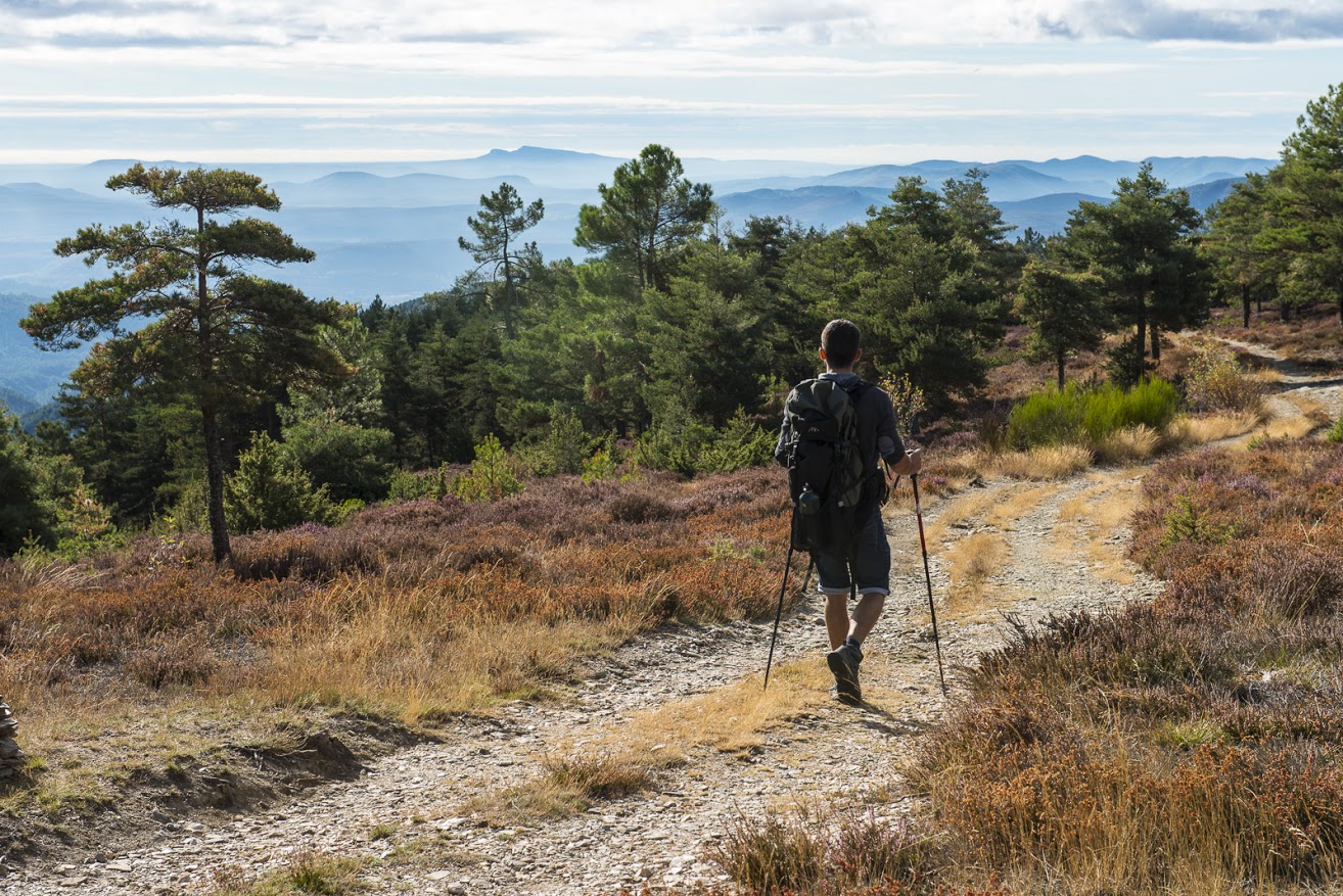
These boots are made for walking…
With good walking boots, you can explore the many hiking trails, the Tour du Tanargue, the Cévenol, the GR4 or the GR7, roaming as you please, for the day or half-day, and a great way of exploring the wild Cévennes d’Ardèche.
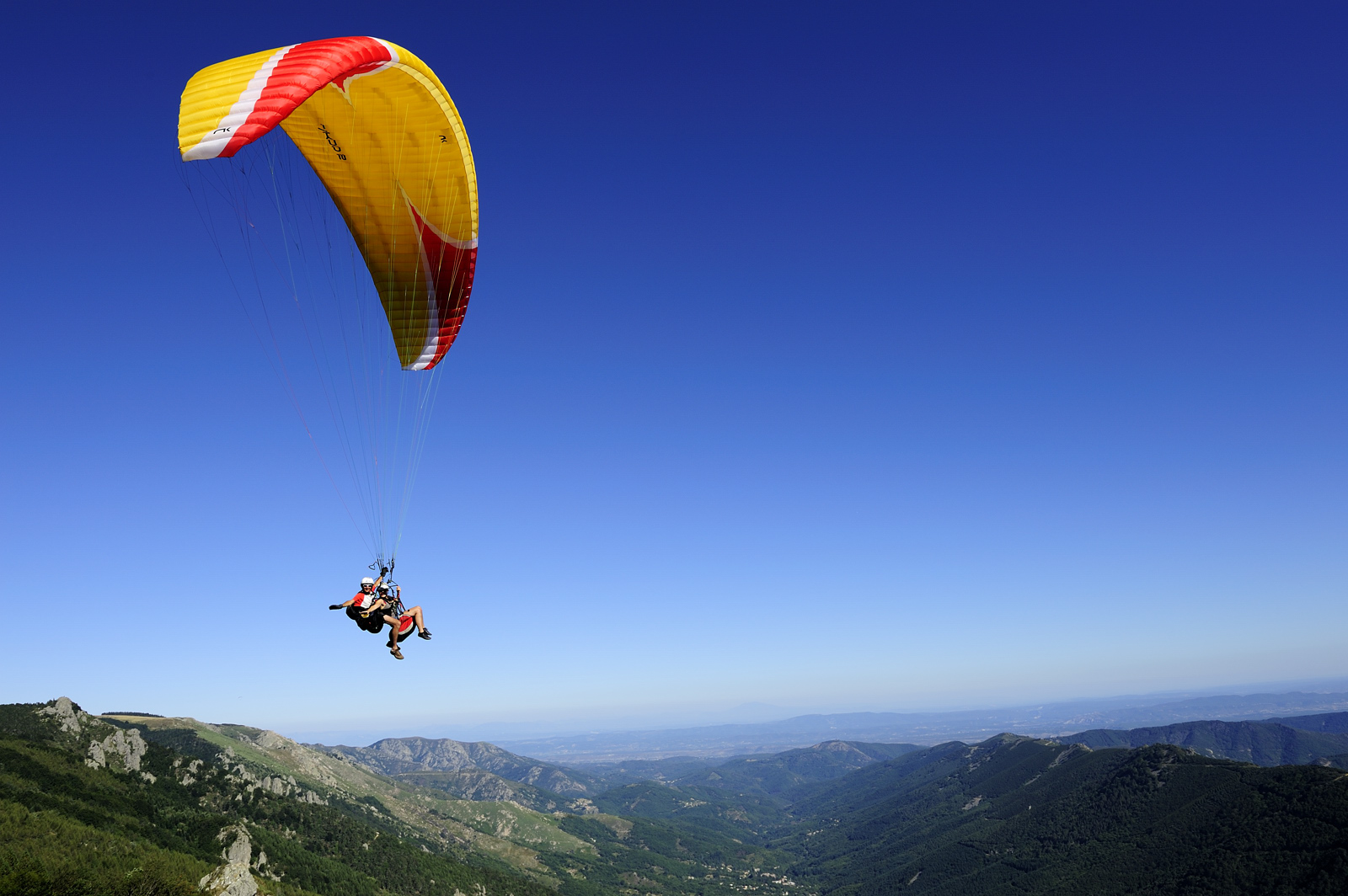
Ready to soar?!
For those who love a thrill, the Tanargue in the Cévennes d’Ardèche is a paragliding site that offers an unbeatable view of the Ardeche Plateau, the Beaume Valley and the Monts d’Ardèche. Fly in complete safety with professional paragliding instructors!
Down by mountain bike!
Hurtle down the slopes along mule paths and the Cevenne’s cliff trails, reach the limestone plains using the strength of your calves! Rise to the challenge of the Grande Traversée de l’Ardèche– a route stretching 336km across the Ardeche department from north to south.
Just bear this in mind – the Ardeche by mountain bike is amazing – but it’s hard work! Today’s trails are no more or no less than the paths previously used by mules to transport goods, but they never had any problems with their gears!
Tanargue mountain